 vesseltracker.com
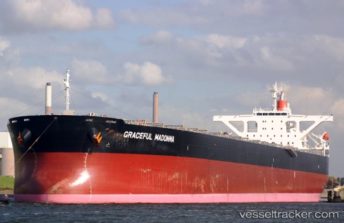
Vessel MOUNT SONG IMO: 9564279, MMSI: 636020152 Bulk Carrier
UTC, 24.44817, 118.00187, course: 283, speed: 0
UTC, 24.44825, 118.00178, course: 283, speed: 0
2026-02-28 19:48:32 UTC, 24.44822, 118.00182, course: 283, speed: 0
Live AIS position:
UTC. Near Haicang),
updated 2026-02-28 19:48:32 UTC.
Find the position of the vessel MOUNT SONG on the map. The latter are known coordinates and path.
marine traffic ship tracker show on live map
The current position of vessel MOUNT SONG is 24.44822 lat / 118.00182 lng. Updated: 2026-02-28 19:48:32 UTCCurrently sailing under the flag of Liberia
MOUNT SONG built in 2010 year
Deadweight:
180242 tDetails:
Last coordinates of the vessel:
UTC, 24.44825, 118.00182, course: 283, speed: 0UTC, 24.44817, 118.00187, course: 283, speed: 0
UTC, 24.44825, 118.00178, course: 283, speed: 0
2026-02-28 19:48:32 UTC, 24.44822, 118.00182, course: 283, speed: 0